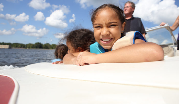
When we say we’re boating to some place, the waterway is often just the route. However, boating on a river is enjoyable as an entire adventure.
Carmans River
The Carmans River in Brookhaven is one of the four largest rivers on Long Island. Fed exclusively from groundwater (and protected by the Long Island Pine Barrens), the first eight miles of the river is fresh water. It then becomes an estuary as it encounters the tidal effects of the Great South Bay.
There are four dams on the uppermost part of the river — Upper Mill Pond, Lower Mill Pond, Southaven Park, and Sunrise Highway. The river empties into Bellport Bay, providing boaters with easy access to the Great South Beach on Fire Island and Moriches Bay.
The Wertheim National Wildlife Refuge is along the Carmans River. This scenic area hosts a variety of habitats, including oak-pine woodlands, grasslands, and fresh, brackish, and saltwater wetlands. These habitats attract and support many types of wildlife, including white-tailed deer, osprey, muskrat, fox, turtles, frogs and fish. Wertheim also serves as a haven for waterfowl, shorebirds, raptors, and songbirds.
More information
https://www.dec.ny.gov/lands/111624.html and https://www.fws.gov/media/lower-carmans-river-guidepdf.
Connetquot River
This typically tranquil river, just off Nicolls Bay, offers views of lush foliage, the former LaSalle Military Academy, and grand homes.
Traveling to this South Shore river can be a bit tricky, especially if the tide is slack and your boat draws more than four feet (many waterways along Long Island’s southern shore are not deep). The river turns from salt to brackish and then to fresh water the further north you travel. Follow the markers into the river, turn to port, and stay to the right. Stop at a restaurant, visit a marina, or drop anchor about a mile upriver. Past that point, you’ll want to explore in an inflatable or a paddlecraft. The Connetquot River State Park Preserve has an abundance of birds, mammals, reptiles, amphibians, butterflies, and plants.
More information
https://parks.ny.gov/parks/8/details.aspx and http://www.friendsofconnetquot.org/
Nissequogue River
The Nissequogue River, located on the western side of Smithtown Bay, is over eight miles long. Part of this freshwater river (derived from groundwater) flows through Nissequogue River State Park. The park is a designated State Bird Conservation area, serving as shelter for waterfowl, herons, and egrets, and is along the migration route for songbirds. Amphibians and reptiles also reside in the park’s tidal and freshwater wetlands and hardwood forests. There’s also a Greenbelt Trail, marina, and canoe and kayak launch.
This is a calm river to drop anchor and visit a nearby beach, or to travel along and explore in smaller vessels — Nissequogue becomes too shallow for larger craft to navigate the further south you head up river. Inflatables, canoes, kayaks, stand-up paddleboards, and dinghies can traverse all the way to the south side of Jericho Turnpike in Smithtown (paddleboarders can’t stand up while passing under the road). Along with the state park facility, there are launch areas near the mouth of the Long Island Sound in Kings Park and on the southern side of Jericho Turnpike in Smithtown.
Timing is crucial when boating the Nissequogue River. A rising tide gives you an advantage while traveling south in the river, but the return trip will be more difficult unless you are exploring in an inflatable with a small engine.
More information
https://parks.ny.gov/parks/nissequogueriver/maps.aspx
Peconic River
The Peconic River is basically a bog near the Brookhaven National Laboratory. It then flows for 15 miles, mainly within the Long Island Pine Barrens, and empties into Flanders Bay.
Most of the river west of Riverhead is shallow, making it accessible only by human-powered crafts and dinghies. It is fresh water near the old Navy/Grumman airfield and becomes a brackish estuary around mid-Riverhead. The river’s wetlands and dense vegetation provide a great environment for turtles, muskrats, birds, and water fowl. Traveling east, the river broadens and ultimately becomes navigable by larger vessels.
There are two marinas and plenty of restaurants in Riverhead that are along the water or a short stroll away.
More information
https://www.peconicestuary.org/peconic-estuary/on-the-water/
Swan River
Swan River is easily accessible from the Great South Bay. Located between Patchogue River and Mud Creek, this 1.5-mile long and 15-foot wide river is tidal. Home to several marinas, a water accessible restaurant, and waterfront homes, there’s another community as well — one made up of wildlife and fish.
The river flows south from Swan Lake, passing through forested wetlands, under Montauk Highway, and into the mouth of Patchogue Bay. While construction has encroached upon the river, it remains one of a few free-flowing, spring-fed waterways on Long Island, providing homes for wildlife.